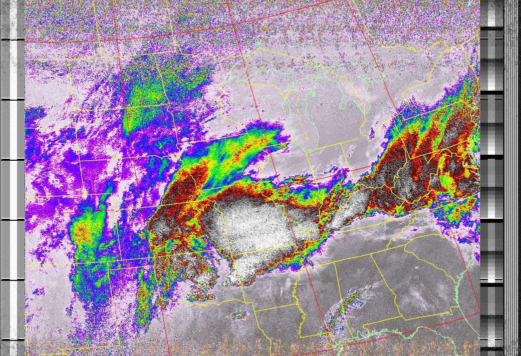
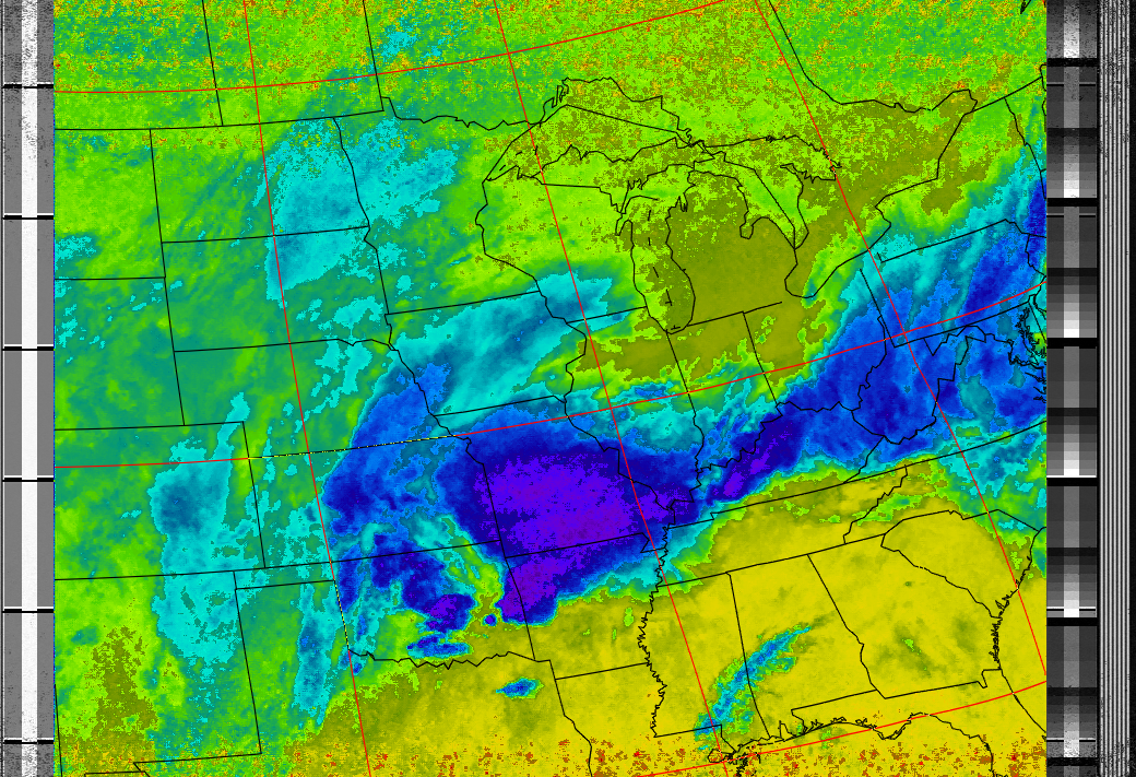
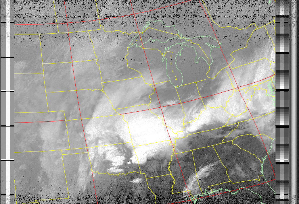
NOAA POES
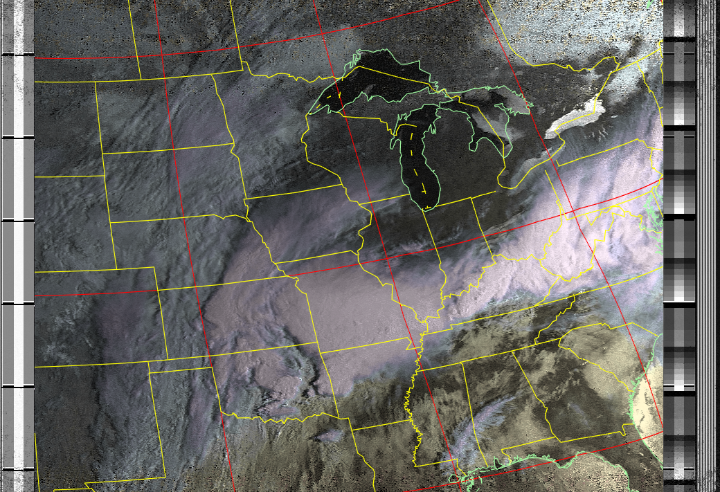
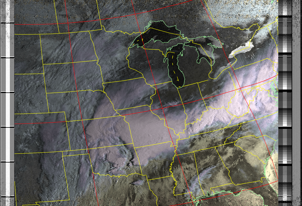
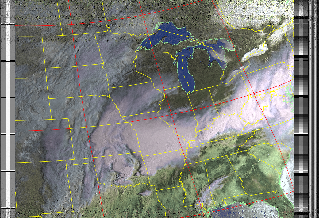
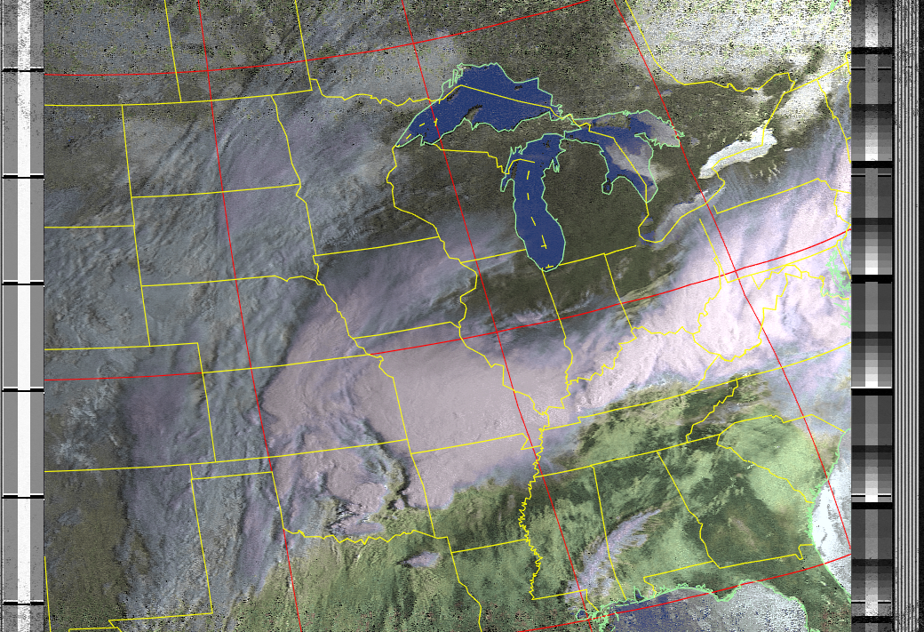
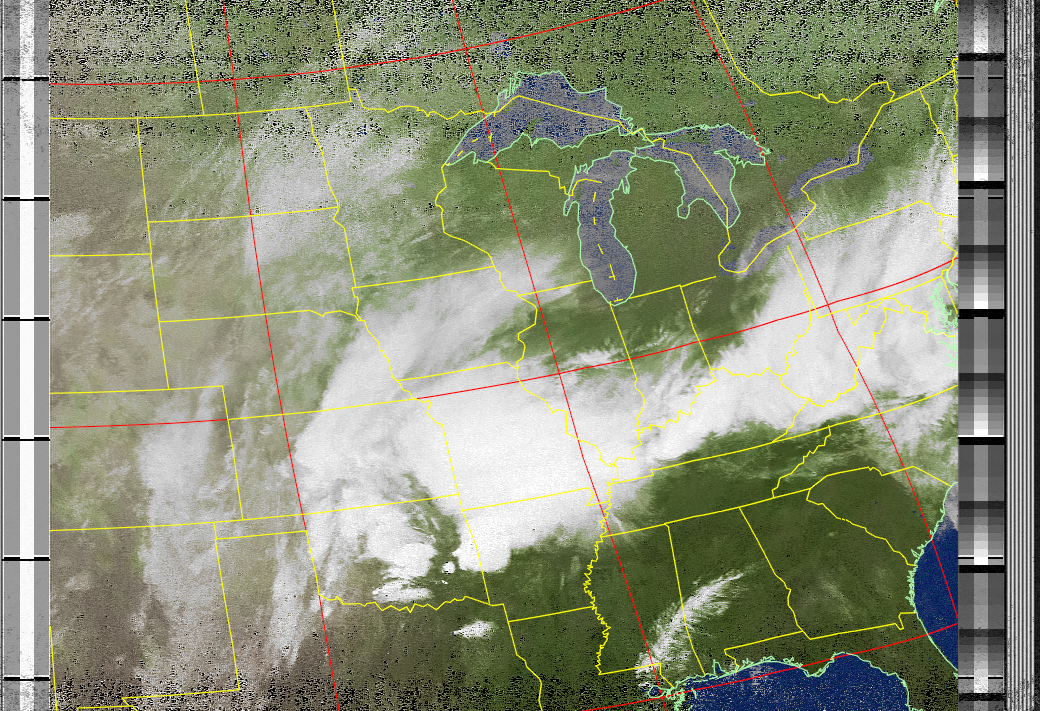
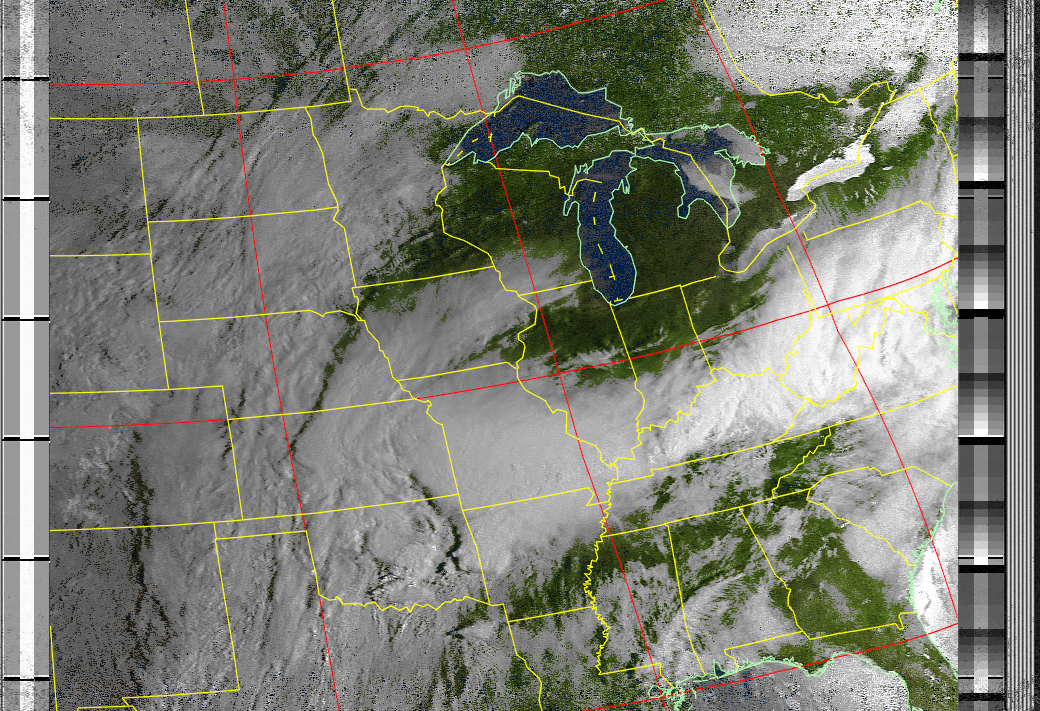
The NOAA 15, 18, 19 satellites are polar orbiting satellites that
transmit observed weather images from 800ish miles above the
ground.
When a satellites becomes visible from the lakehouse
roof, the signal is picked up by a QFP antenna, decoded by a
Raspberry pi 4, and displayed below.
What's displayed is the
raw data. Partial or "fuzzy" images are reflections of solar and
atmospheric interference, and sometimes even simply distant passes
overhead.
Even so, it's pretty cool it works at all!
